Explore the beauty of nature with Topo Maps+, an outstanding app to take along on your backpacking trip. Topo Maps+ allows users to download apps for offline use, view your location using GPS, and most importantly, explore the outdoors with the help of this app. In this blog, we will be going over key features that Topo Maps+ offers.

User Interface
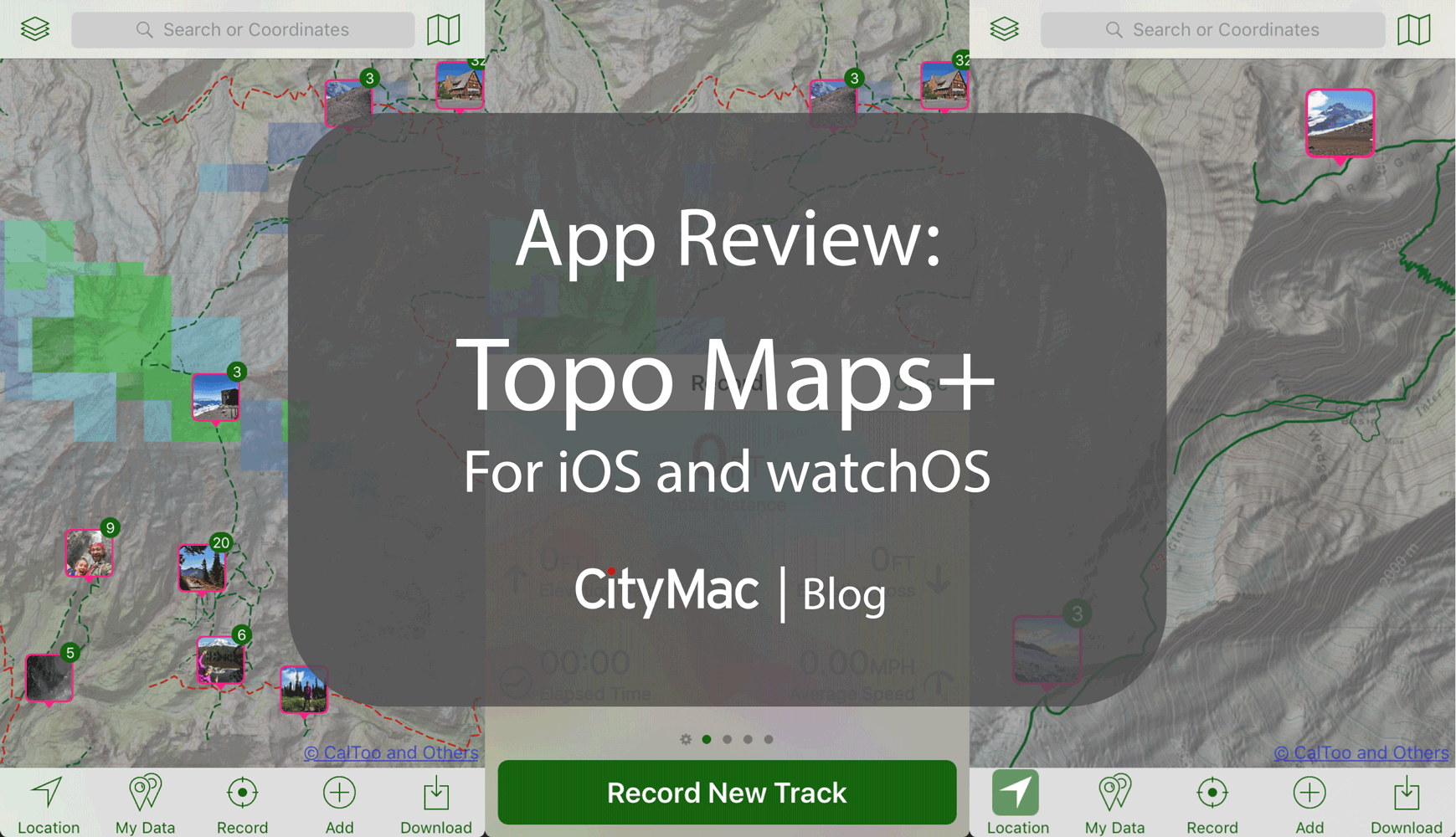
The user interface of Topo Maps+ is great. It features a clean, modern design which allows users easy access to all of the features and menus within the app. This is definitely a strength that makes Topo Maps+ stand out and makes it very appealing to use.
Downloading Offline Maps
If you’re going to go hiking or backpacking out in the mountains or somewhere else where cellular service is rare or out of reach completely, you need the ability to have the maps downloading to your phone directly. With Topo Maps+, you can download high resolution maps with the Pro subscription or download low resolution ones for free.
 Map Overlays
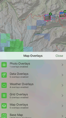
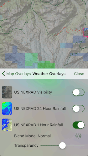
Map Overlays allow users to add overlays to the maps to see features such as Photo Overlays, Data Overlays, Weather Overlays and more. With Photo Overlays, users can choose if they want to see photos they have taken or from users who have uploaded them to the photo sharing site, Flickr. Weather Overlays allows users to see the weather right on the map without having to switch to another app to check for the weather. Overlays is one of the many features that makes Topo Maps+ a great app to take along on your next outdoor trip.
Pricing
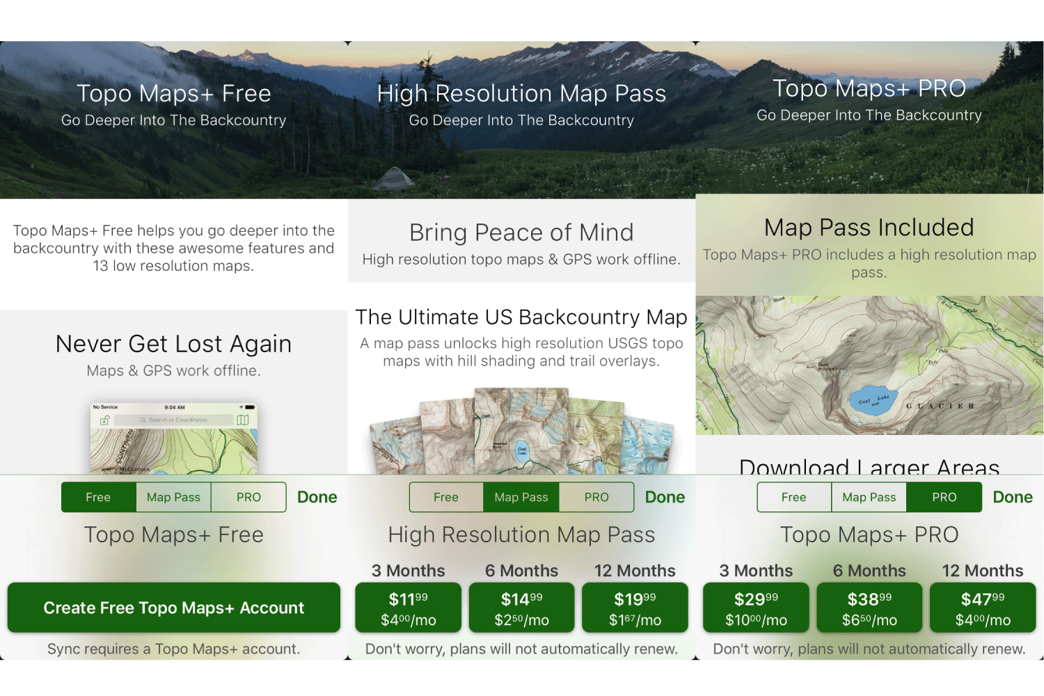
Topo Maps+ has three versions or price tiers for the features you want access to. All the features are in a single app and the pricing is subscription based.

Free
The free version of Topo Maps+ allows users to have access to the basic features of the app. These features include: downloading low resolution versions of maps, tracing routes, adding way points to the maps, recording hikes and more.
 Map Pass
Map Pass includes all the features in the free version and allows users to have access the high resolution maps downloaded to their device along with GPS to tell you where you are on the trail. Pricing for the Map Pass option, as of this article, is $11.99 for 3 months, $14.99 for 6 months, or $19.99 for 12 months.
PRO
The PRO version of Topo Maps+ includes all of the features in the Map Pass option along with the ability to download larger versions of maps to your device, see distances along the trail, see trail segments, see photos of the areas you are, create custom map overlays, and much more.
As of this article, PRO pricing is $29.99 for 3 months, $38.99 for 6 months, and $47.99 for 12 months.
Since Topo Maps+ using the subscription feature and In-App Purchases, you can pay for the service when you want with their ability to purchase a 3-month pass, which is perfect for the summer months.
Device Compatibility & Download
Topo Maps+ is available for iOS for iPhone and iPad. The app can also be used on an Apple Watch. You can download Topo Maps+ from the App Store here.
To learn more about Topo Maps+, head over to the developer’s website: glacierpeakstudios.com.
In all, we hope that you find this app useful if you are looking to go hike/backpack in the great outdoors. Let us know what you think about Topo Maps+ in the comments below. You can also connect with us on Facebook at facebook.com/WelcomeToCityMac and on Twitter @CityMacTweets.